daniel thomaschek cfp7 fall 2010
Monday, December 27, 2010
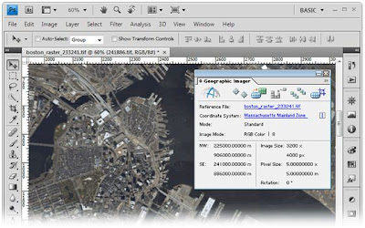
Geographic Imaging
Geographic Imaging is the use of images such as satellite photographs to provide geographic
information.
No comments:
Post a Comment
Newer Post
Older Post
Home
Subscribe to:
Post Comments (Atom)
 information.
No comments:
Post a Comment